
WEATHER BLOG

Presented By:
Rain Returns Tonight; Details Here!
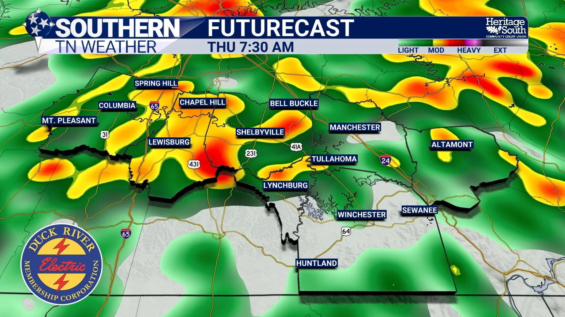
Southern Middle Tennessee stays mild this afternoon, but changes are underway. A stalled boundary just to our north combined with an approaching shortwave from the Plains will bring increasing rain chances later today. A shortwave is a small disturbance in the upper levels of the atmosphere.
Winds Pick Up, Rain Moves In Tomorrow
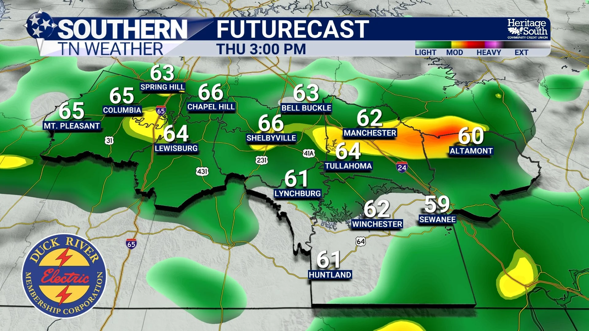
Southern Middle Tennessee is finally breaking out of the freeze we’ve been dealing with over the past few days, and the transition is noticeable today. After several bitterly cold mornings, temperatures are rebounding into the mid 40s to lower 50s this afternoon. The warmer air is arriving on gusty southwest winds, with occasional gusts up to 25 mph. That breeze is a sign that the pattern is shifting in a bigger way…
Cold Tonight, Warmer Tomorrow, Rain Returns Midweek
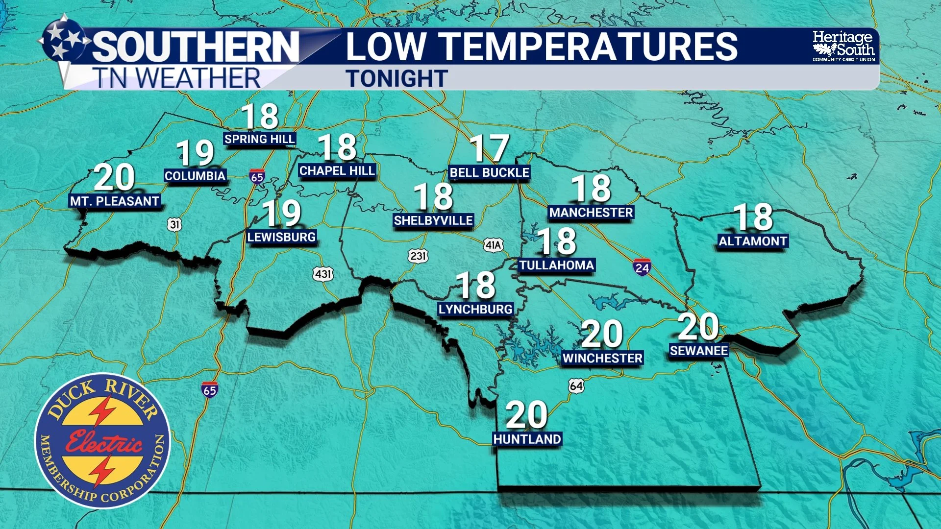
Southern Middle Tennessee is starting the week on a cold and breezy note, but changes are already lining up as we head toward midweek.
Severe Weather Awareness 2026: Tools to Recieve Weather Information
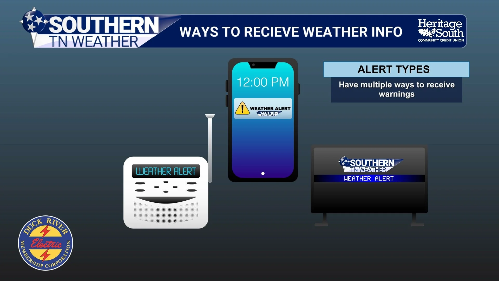
When severe weather strikes, seconds matter. The difference between being informed and being unaware can save lives. One of the most important steps you can take is making sure you have multiple reliable ways to receive weather information. No single source is enough.
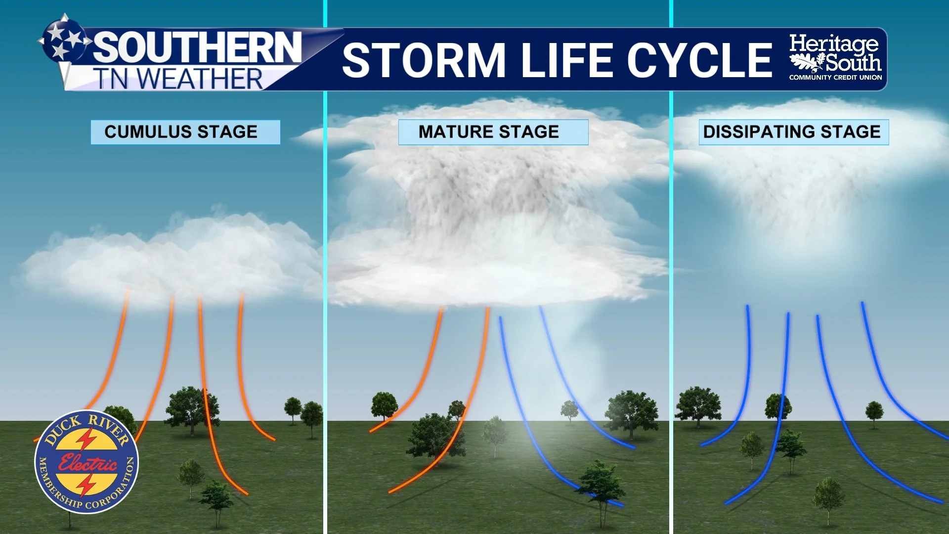
Severe Weather Awareness 2026: Severe Thunderstorms
Regardless of how storms evolve, tonight is a reminder that severe thunderstorm season is here. As part of Severe Weather Awareness Week, today’s focus is on severe thunderstorms and how to stay safe.
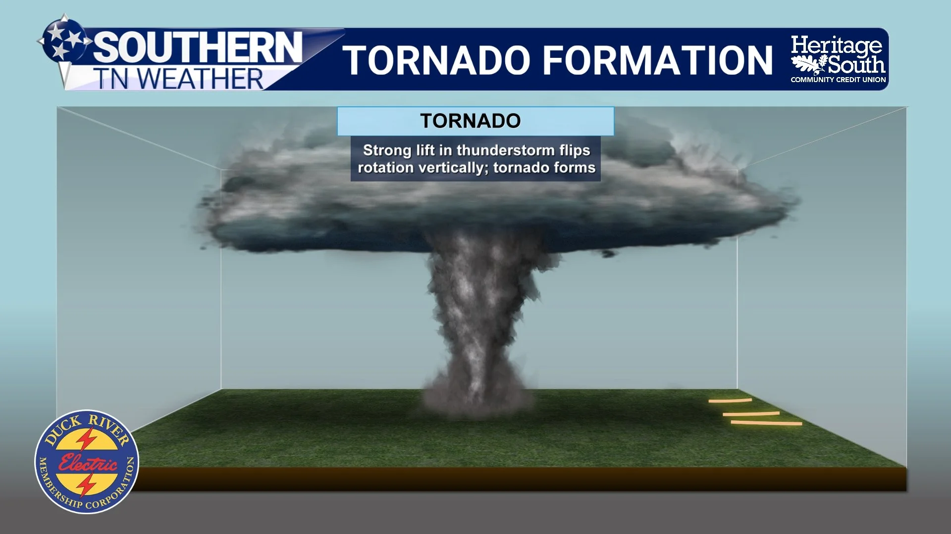
Severe Weather Awareness 2026: Tornadoes
Tornadoes can happen any time of year in Middle Tennessee. While spring is peak season, we have seen tornadoes in every month. That is why awareness and preparation matter. A tornado is a violently rotating column of air that extends from a thunderstorm to the ground. They can form quickly and sometimes with little visual warning, especially in heavy rain or at night.
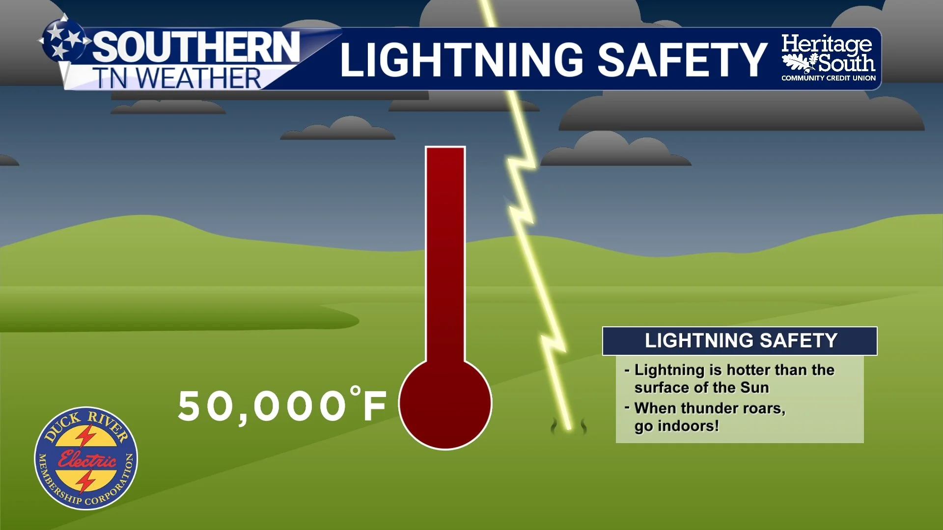
Severe Weather Awareness 2026: Lightning
Lightning is often underestimated, but it is one of the leading weather-related killers in the United States. You don’t need a tornado or damaging winds for lightning to be deadly. Understanding how lightning forms (and how far it can strike) is key to staying safe. Our region sees frequent thunderstorms, especially in spring and summer. Lightning doesn’t need a severe warning to be dangerous. Many lightning injuries happen on “just a stormy day” when people don’t think the threat is serious!
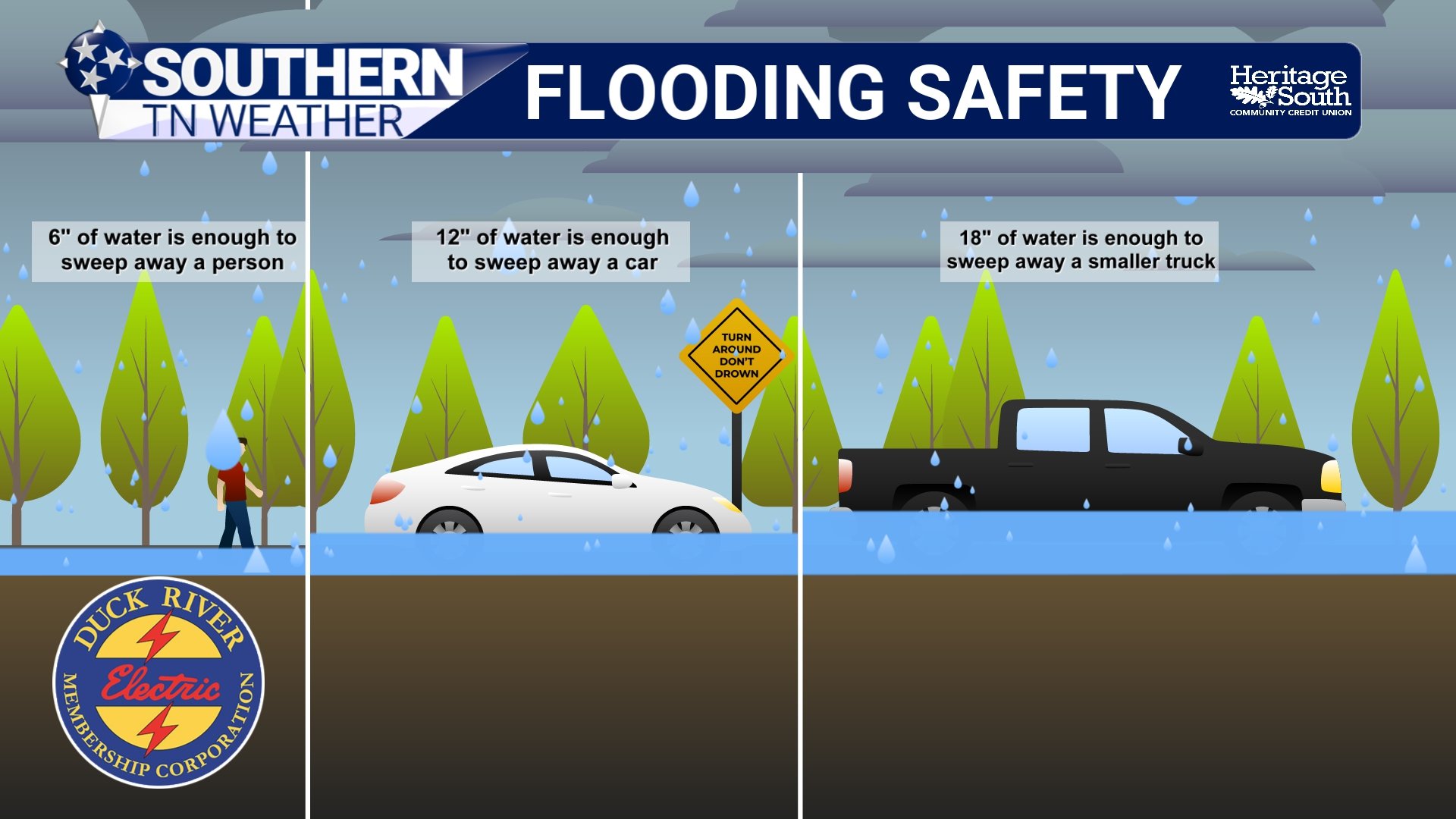
Severe Weather Awareness 2026: Flooding
Flooding is the leading cause of weather-related fatalities in the United States, and it does not take a major storm to create dangerous conditions. Our region is especially vulnerable due to a combination of rolling terrain, creeks and rivers that respond quickly to heavy rain, and areas with poor drainage.
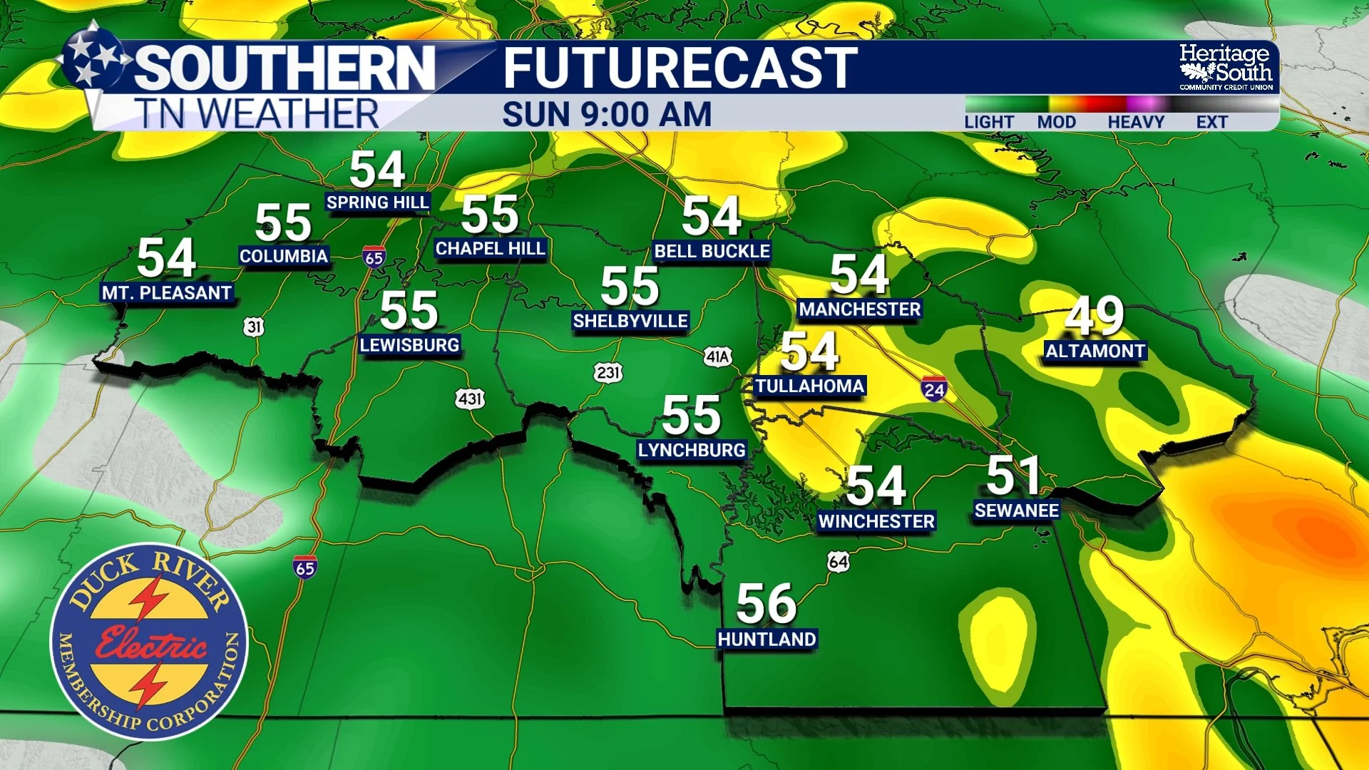
A Wet Weekend Ahead, but No Major Impacts Expected
Southern Middle Tennessee is heading into a noticeably wetter pattern this weekend, but the overall setup favors beneficial rainfall rather than hazardous weather. After a dry finish to the work week and a quiet start to Saturday, a strong storm system will move across the southern United States late Saturday through Sunday, bringing widespread rain to the region. While rainfall will be steady at times, flooding and severe weather concerns remain low.
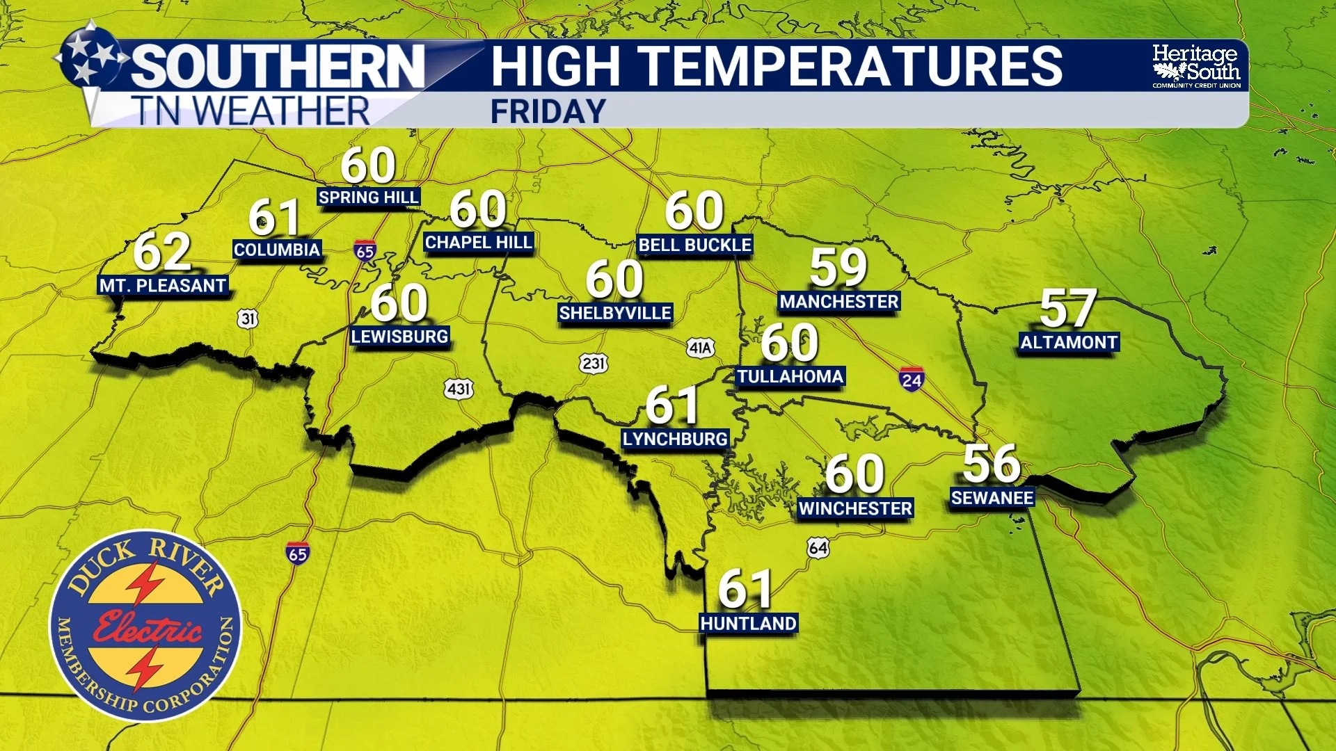
Rain This Weekend, Warmer Weather Next Week
Southern Middle Tennessee is sitting in a brief lull in the active weather pattern today, but that quiet stretch is temporary. High pressure is providing dry and fairly mild conditions through Friday, before a southern-stream system brings a widespread, soaking rain to the region this weekend. After that system moves out, the overall pattern favors above-normal temperatures heading into next week.
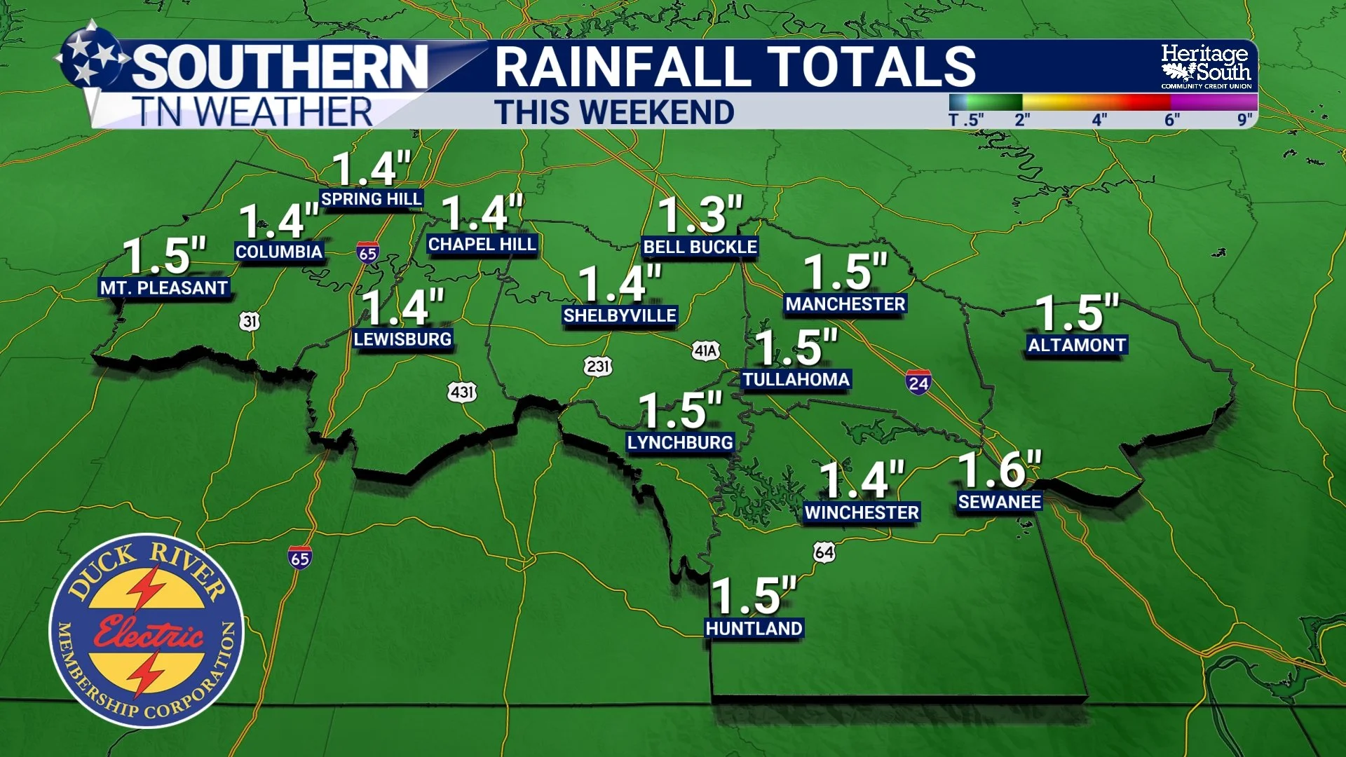
Dry for Now, Rainy Conditions Return This Weekend
Southern Middle Tennessee is settling into a brief stretch of quieter weather today, but the atmosphere is far from finished with us. After yesterday’s record-setting warmth, a cooler and drier pattern takes hold through the end of the workweek. Attention then turns to the weekend, when a more organized storm system brings a high likelihood of widespread rainfall across the region. While flooding is not expected at this time, this system will mark a clear shift back toward a wetter pattern.
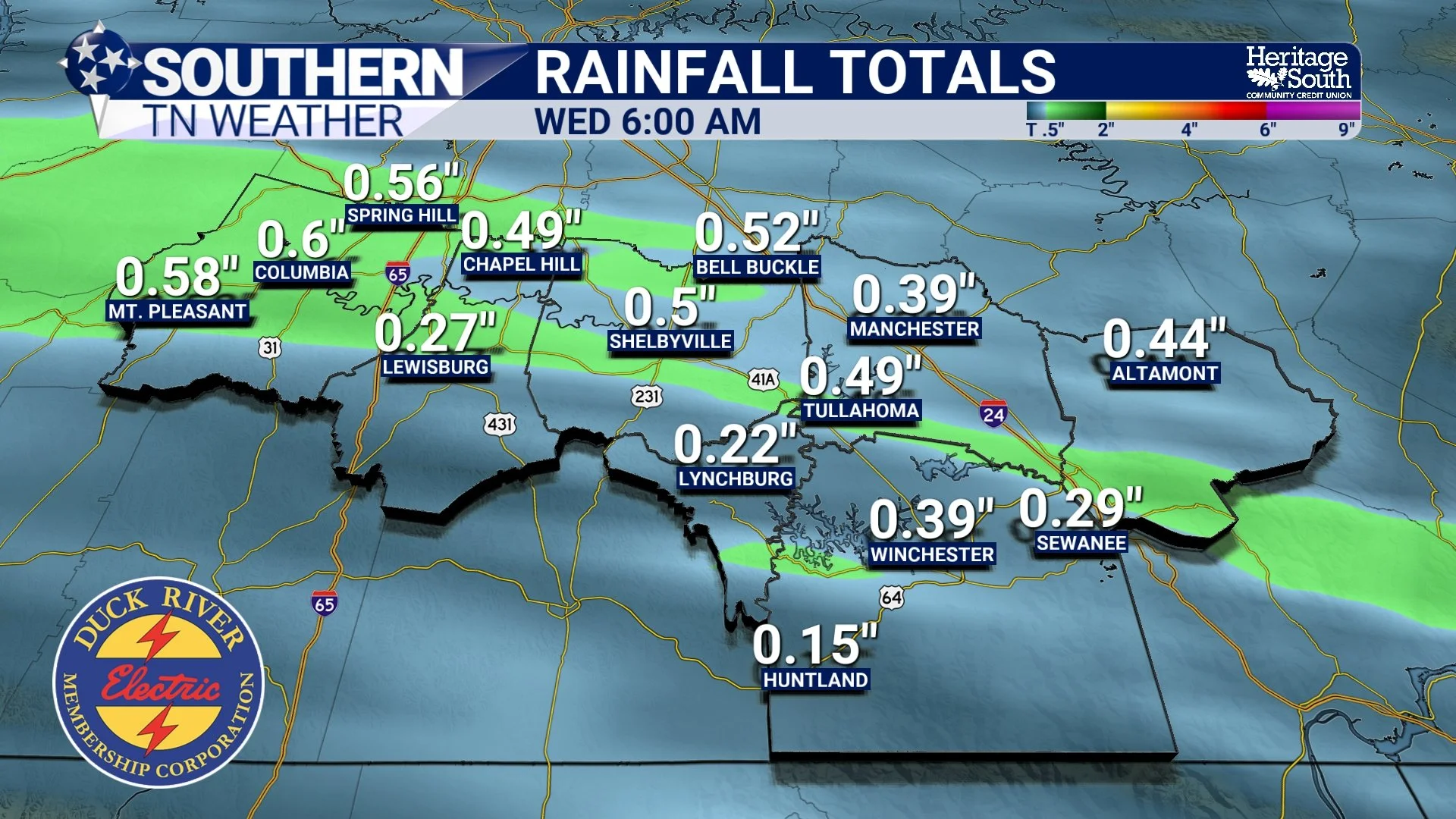
Warm Today, Light Rain Tonight, Heavier Rain Possible This Weekend
Southern Middle Tennessee is enjoying one more unseasonably warm day, but changes are already lining up as we head into tonight and the rest of the week. While today feels more like late March than early February, a cold front moving in this evening will bring a round of light rain, followed by cooler (though not dramatically colder) and drier conditions for the middle of the week. The bigger story unfolds after that, as the pattern turns more active heading into the weekend with the potential for heavier rainfall.
Springlike Warmth Peaks Before Rain Returns
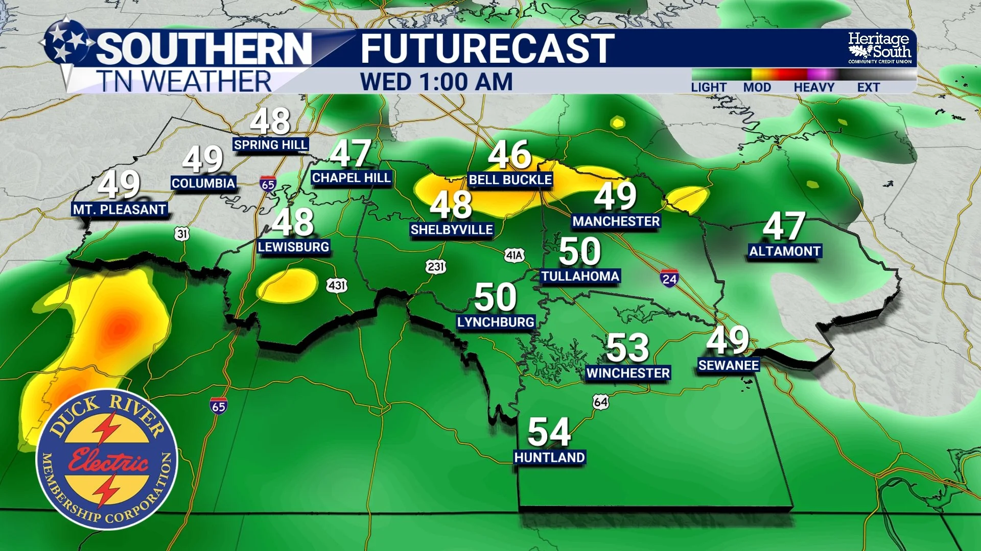
Southern Middle Tennessee is firmly in a springlike pattern as we head into the start of the workweek, with unusually warm temperatures today and Tuesday before a return to rain and a modest cool-down midweek. While winter has made plenty of appearances over the past several weeks, the atmosphere is now taking a very different turn, and the next few days will feel far more like late March than early February.
A Brief Cooldown Saturday, Then a Springlike Turn Ahead
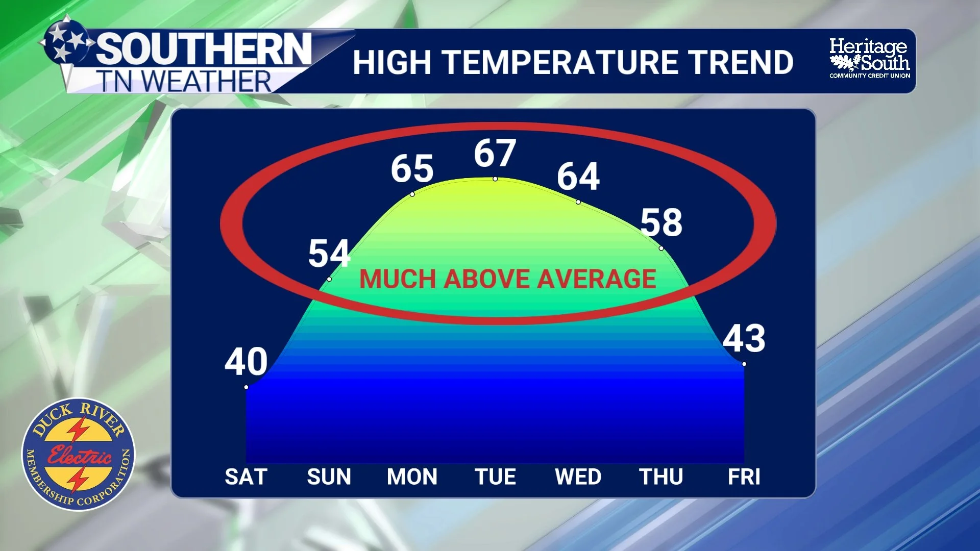
Southern Middle Tennessee is wrapping up another week of winter variability, but the overall pattern is beginning to turn a corner. While we do have one more weak front sliding through today and a cooler, breezy Saturday ahead, the bigger story is the increasingly confident warm-up that unfolds late this weekend and continues into next week. By early next week, temperatures will feel far more like early spring than early February.
National Weatherperson’s Day: A Thank You From the Heart
Today’s Weather Blog is a little different than usual. Today, February 5th, is National Weatherperson’s Day. This is a time set aside to recognize meteorologists and weather communicators, but instead of focusing on myself or the title, I want to use today to say thank you.
Midweek Chill Lingers Before a Notable Warm-Up Enters the Picture
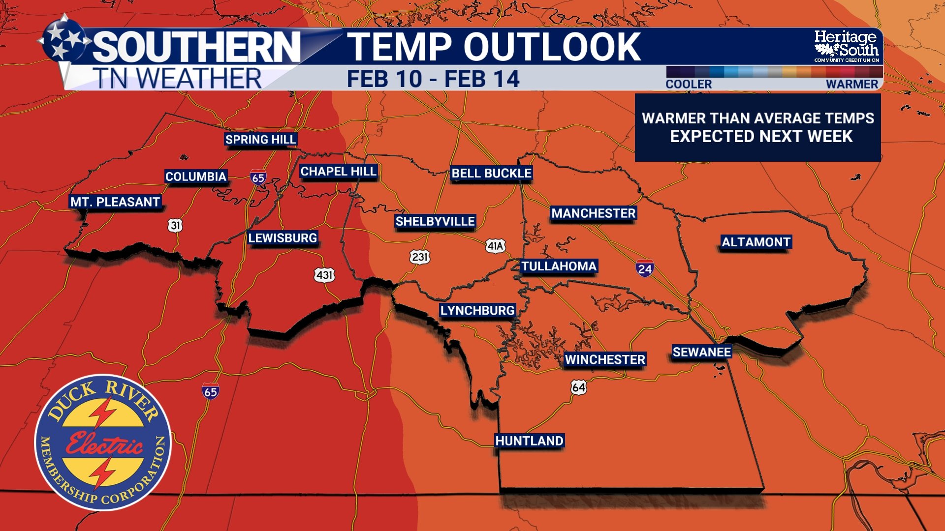
Southern Middle Tennessee is settling into a brief but stubborn stretch of colder, gray weather today and Thursday as we sit on the backside of yesterday’s cold frontal passage. While this is not an impactful winter weather setup, lingering moisture and cold air aloft will keep conditions feeling raw for another 24 to 36 hours before a meaningful and sustained warm-up arrives heading into the weekend and early next week.
Rain Today, Cold Returns Briefly, Then a Clear Path to Warmer Weather
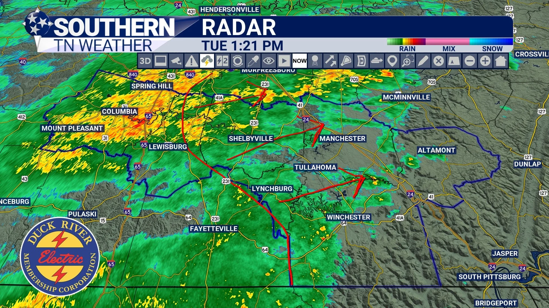
Southern Middle Tennessee is transitioning into a much quieter and more favorable weather pattern, but not before one final round of rain moves through the region this afternoon and evening. This system is not particularly strong, nor is it dangerous. Still, it does serve as a clear dividing line between today’s unsettled weather and a stretch of colder, dry conditions midweek, followed by a notable warm-up as we head toward the end of the week and early next week.
Temperatures Moderate as Rain Moves Back Into the Area
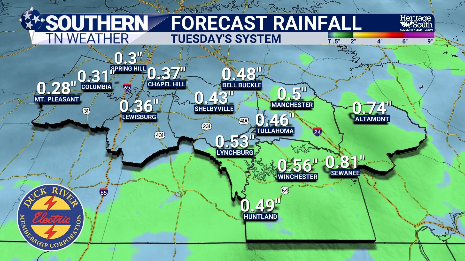
Southern Middle Tennessee is finally beginning to ease out of the harsh Arctic pattern that dominated much of late January, but winter is not finished with us just yet. While the most extreme cold has retreated for now, the overall pattern remains active enough to bring a round of widespread rain on Tuesday, followed by another cool-down midweek and a continuation of cold mornings paired with milder afternoons.
Snow Showers and Dangerous Cold: What to Expect Across Southern Middle Tennessee this Weekend
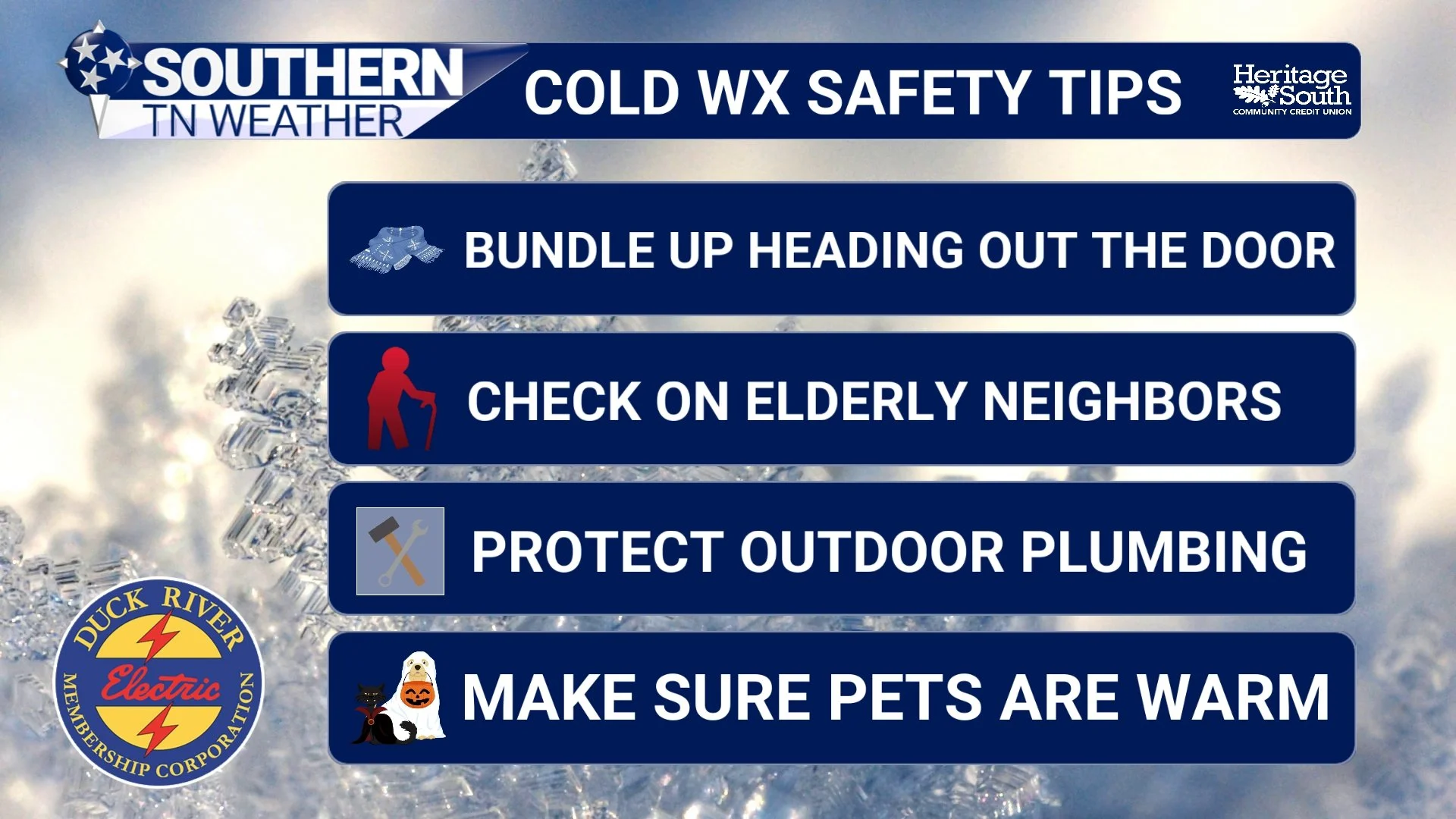
Southern Middle Tennessee is now firmly entering the heart of an Arctic outbreak, and while light snow showers and flurries will remain part of the forecast through Saturday, they are not the primary concern. This is not shaping up to be a high-impact snowfall event for our region. Instead, the dominant and most dangerous hazard through the weekend will be the intensity and duration of the cold air settling in behind the snow.
Bitter Cold Takes Center Stage as Arctic Air Deepens Across Southern Middle Tennessee
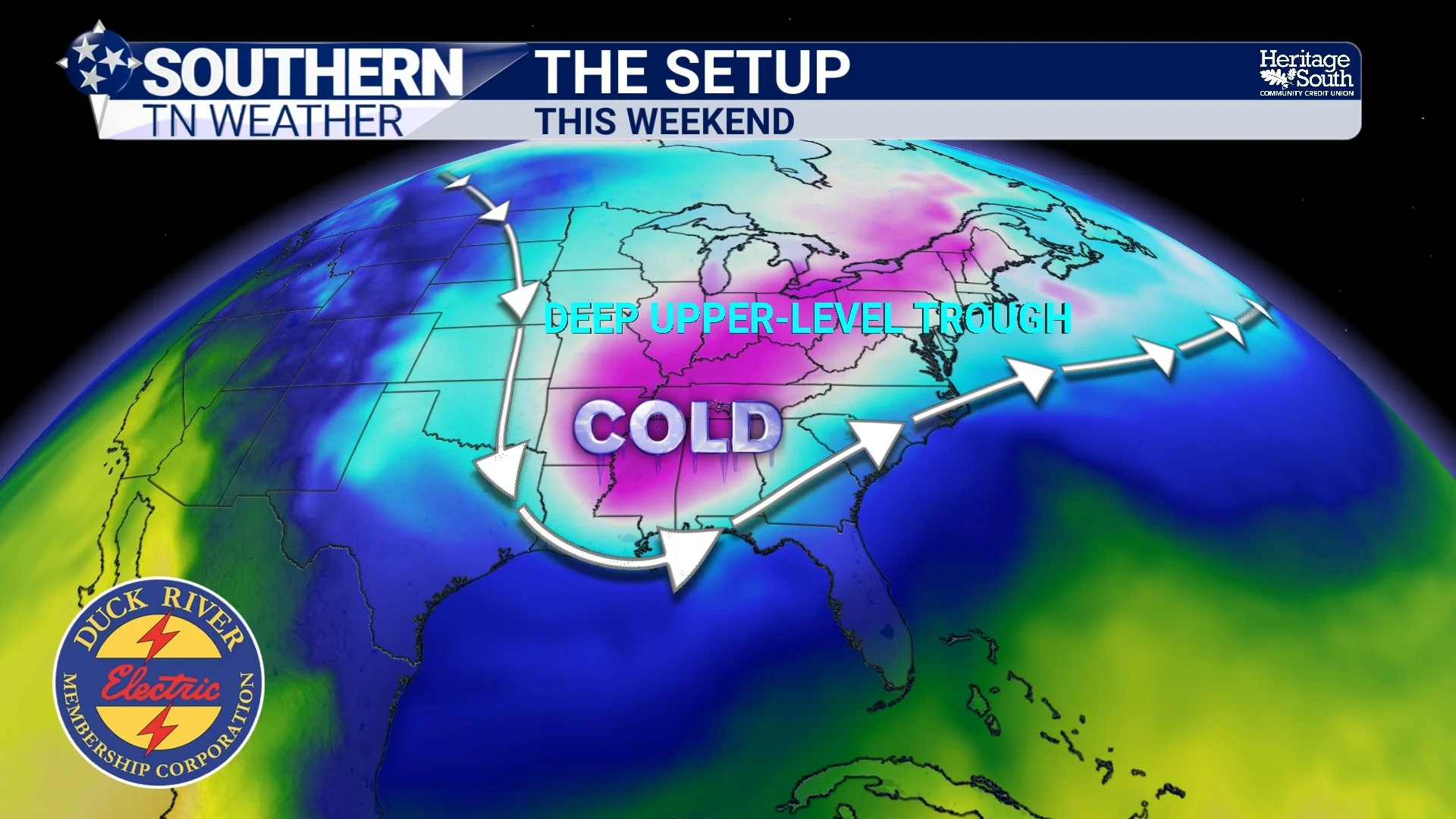
Southern Middle Tennessee remains entrenched in a harsh winter pattern, and as we move toward the end of the work week, the forecast focus is becoming increasingly clear: this weekend’s primary hazard will be dangerous cold, not snowfall. While some light snow or flurries remain possible Friday into Saturday, impacts from any precipitation should remain fairly minor. The cold, however, will not be.