
Thursday Afternoon Rain and Storm Update

The Southern Tennessee Weather Blog is proudly presented by Heritage South Community Credit Union.
We Help When Others Won’t!
Visit https://www.heritagesouth.org/ today to see how HSCCU can help YOU!
Rain and gusty winds continue to overspread Southern Middle Tennessee this afternoon as a cold front slowly works east across the region. This system has been on our radar for several days, and while the overall severe weather threat remains VERY low, the Storm Prediction Center has reintroduced a Marginal Risk (Level 1 of 5) for parts of the area through this evening… Before you bring out your pitchforks at me, let’s walk through what’s happening, what has changed, and what you should actually expect. My overall thinking hasn’t really changed that much.
What’s Going On Right Now (1–2 PM Thursday)
Bands of showers are moving across the region this afternoon, driven by strong warm air advection ahead of an approaching cold front. Winds have already been gusty, with several locations reporting gusts around 30 to 35 mph, and a few spots briefly flirting with 40 mph in heavier showers. Thunderstorm activity has been limited so far, and that remains the expectation through the rest of the afternoon. Most of what you’ll experience today will be periods of rain and gusty winds, rather than lightning or major severe storms.
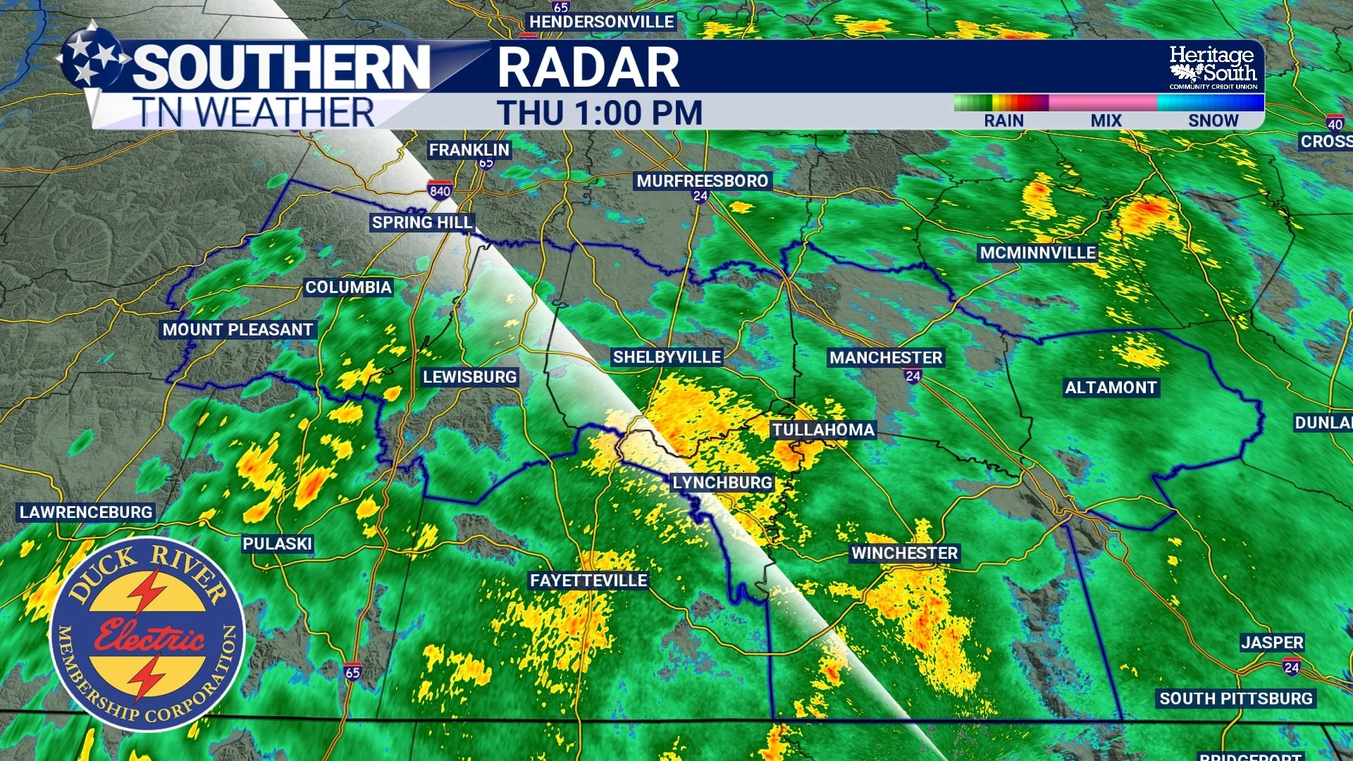
Radar as of 1:00 PM
Why the Marginal Risk Is Back
“I’m BAAAACKKKK…” — yeah, I know it feels a little wishy-washy, but the Storm Prediction Center has reintroduced a Marginal Risk (Level 1 out of 5) for severe weather this evening. The reason for this upgrade is very strong wind energy in the atmosphere. Winds just a few thousand feet above the ground are extremely strong, and when you combine that with a cold front, it always deserves attention.
That said, instability (storm fuel) remains the big limiting factor…

Cloud cover, ongoing rain, and rain-cooled air are keeping the lower atmosphere fairly stable across Southern Middle Tennessee. Most guidance continues to show limited surface-based instability, with only small pockets of CAPE trying to develop, mainly to our southwest. Many storms that do form are expected to remain elevated, meaning they are rooted above the surface and have a much harder time producing severe weather. Because of this lack of storm fuel, I do not foresee this risk becoming major. We’ve dealt with several low-end Marginal Risks over the past month, so this is nothing new. It’s simply something to keep an eye on … and I’ll be watching it closely, as always.
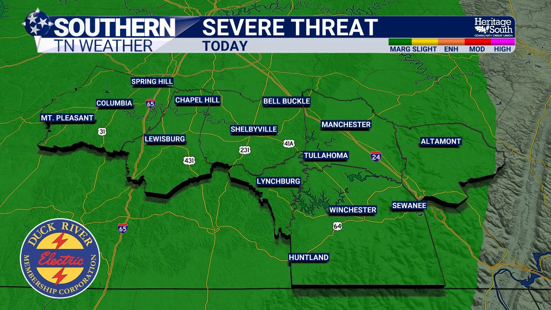
Latest Storm Prediction Center Outlook for Today
Main Impacts: Rain and Wind
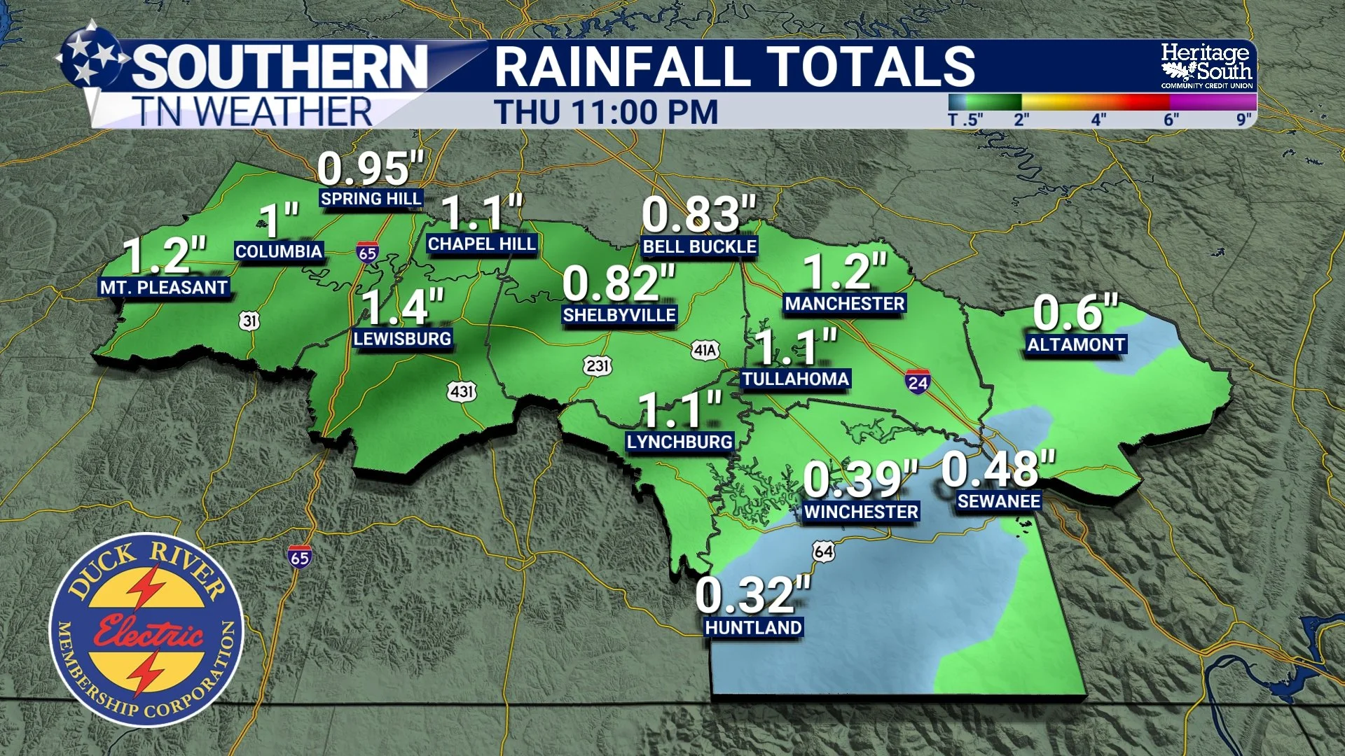
For most folks, the biggest impacts today will be rainfall and wind, not severe storms. Rain will continue through the afternoon and into the evening, tapering off fairly quickly once the cold front moves through later tonight. Current rainfall totals are expected to range from around 0.25 to 0.75 inches, with a few isolated spots possibly closer to an inch under heavier showers.
Winds will remain breezy through this evening, with gusts around 35 mph at times. These gusts are being driven largely by the pressure gradient, meaning they can occur even outside of thunderstorms. A brief stronger gust or two is possible in heavier showers, but widespread damaging winds are not expected. The tornado and hail threats remain very, very low.
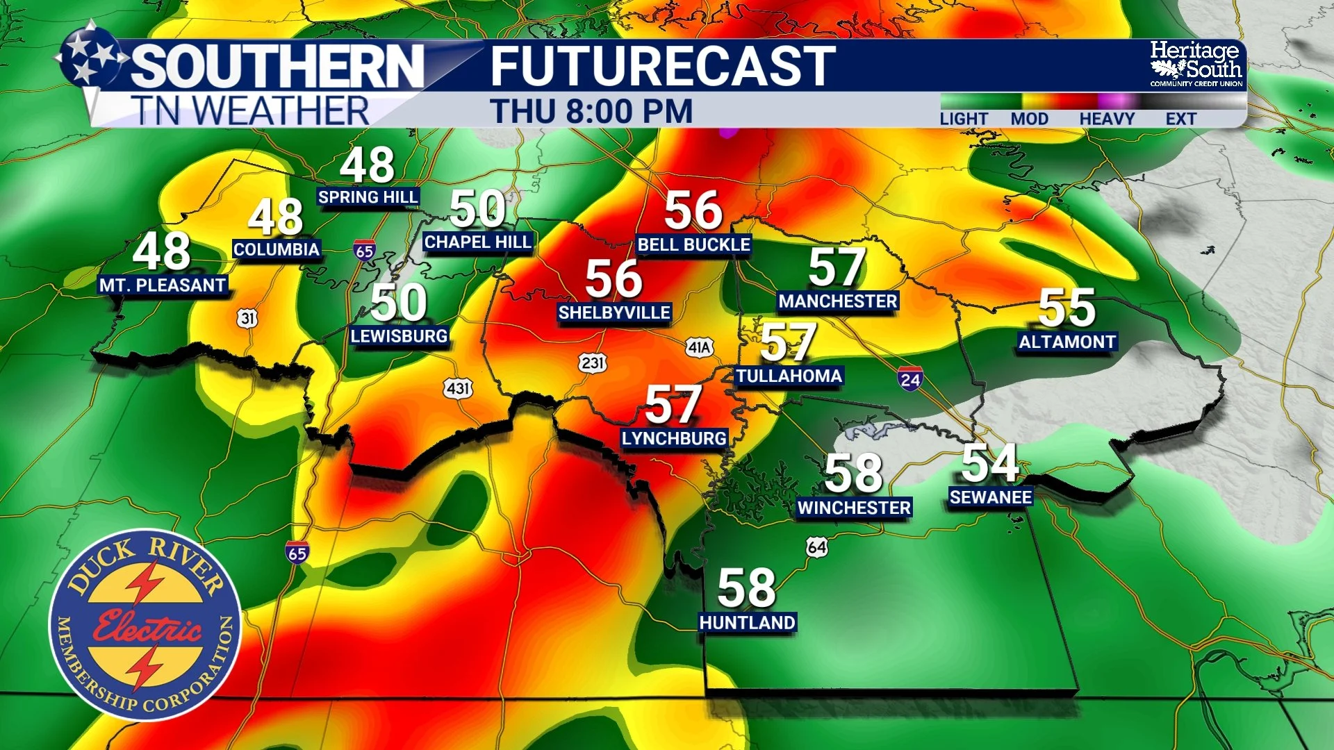
Rainfall Totals - HRRR Model
Timing Breakdown
This Afternoon: Showers continue, breezy with occasional strong gusts
Late Afternoon to Evening (4–9 PM): Highest rain coverage, isolated thunder possible
Late Evening (after 8–11 PM): Cold front passes, rain ends quickly
Overnight: Winds ease, temperatures drop into the 30s
Our “main round” of Showers and Storms This Evening - HRRR Model
What Happens After This Clears Out
Behind the front, cooler and drier air moves in. Friday will feel noticeably chillier, with highs mainly in the low to mid 40s, but conditions will be quiet.
Looking ahead, the bigger pattern remains favorable for above-normal temperatures as we head toward Christmas. After a cool Friday, temperatures rebound this weekend and continue warming into next week, with only low, nuisance-level rain chances popping up from time to time.
The Bottom Line 🧾
• Rain and gusty winds continue through this evening
• A Marginal Risk (1/5) has been reintroduced, but severe storms remain unlikely
• Isolated gusty winds are the primary storm concern
• Rain totals generally range from 0.25 to 0.75 inches
• Conditions improve late tonight, with cooler, dry weather Friday
• Milder temperatures return heading into the weekend and Christmas week
📰 Reminder: The Southern Tennessee Weather Blog (Presented by Heritage South Community Credit Union) is updated Monday through Friday with fresh, locally tailored forecasts you can trust.