
Storm Chances Increasing for Friday
Today and tomorrow
The weather will stay pretty quiet over the next 48 hours, with above-average temperatures and mostly sunny skies continuing across Southern Middle Tennessee. Of course, this quiet stretch has to end eventually — and unfortunately, I’m expecting that change to arrive on Friday as a cold front pushes in from the north and west.
If you’ve been following my blog over the last few days, you know I mentioned that the forecast could shift as we got closer to Friday. And that is exactly what’s happening now.
Friday
Aside from some passing clouds, Friday morning and early afternoon look fairly quiet. Winds out of the south will funnel Gulf moisture into the region ahead of our incoming cold front, and that moisture return is what will help bring the chance for thunderstorms later in the day. November marks the start of our fall severe weather season, so it’s not surprising to see at least a small severe threat showing up. In fact, the Storm Prediction Center currently places Southern Middle Tennessee under a SLIGHT risk (level 2 of 5) for severe thunderstorms Friday afternoon and evening. As always, though, there are limiting factors. During fall severe weather setups, our threats rely heavily on how much storm fuel (instability) and moisture we can build before the front arrives. Wind energy won’t be an issue (it rarely is this time of year) but moisture absolutely is. This is a delicate balance where all the ingredients have to line up just right. A good general rule of thumb during cool-season events is this: If dewpoints reach 60° or higher before storms arrive, the severe weather threat increases. This does not apply to spring or summer setups … only events like this one.
Right now, model data continues to show us riding the very edge of that 60° dewpoint benchmark. I still think the data is too inconclusive to confidently say we’ll hit it, and therefore too early to say with certainty that we’ll see a more widespread severe threat. But if we manage to reach that lower-end moisture threshold, a few strong to severe storms would be possible. Hopefully, confidence will increase over the next 48 hours as the data settles, but for now, the guidance remains scattered regarding how this system evolves.
I do expect at least a broken line of showers and thunderstorms to develop to our north and west Friday evening and then push into our area. The main threat will be damaging straight-line winds up to 60 MPH. The tornado and hail threats look low, but not zero. Unfortunately, the current timing does overlap with high school playoff football games Friday night. If you plan on attending a game, please keep the storm risk in mind. Storm activity should move out by around midnight, if not a little earlier.
Please stay tuned to the website, the mobile app, and social media for updates as we get closer and confidence increases in the overall setup.
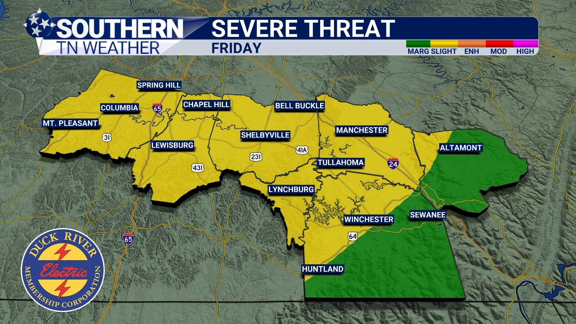
Friday’s SPC risk
Cold air… and some snowflakes next week??
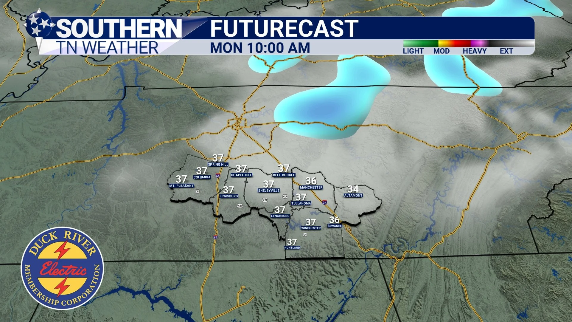
Once our first cold front clears the area on Saturday morning, it won’t take long for a reinforcing cold front to arrive behind it — we’re talking less than 24 hours between the two. Weather model data is all over the place with available moisture to spark off some showers on Saturday evening as this second front moves through, so right now I have little to no chance in the forecast. This could change, though. The second front will usher in the coldest air of the season so far, with a likely deep freeze. Low temperatures Monday and Tuesday night will drop into the 20s area-wide. Earlier this week, I mentioned the very low-end possibility of a few flurries Sunday night into Monday morning. Well… confidence in that scenario is actually slowly increasing.
So yes — I cannot rule out a few flurries or light snow showers late Sunday night into early Monday.
Accumulations? No.
Impacts? No.
But it will be a sign of the times with that Canadian air flooding in. I’ve got snow chances sitting in the 10% to 20% range right now.
Obviously, the better chance to see flakes in our broader region will be across the Northern Cumberland Plateau (Jamestown, Crossville, Monterey) and into the higher elevations of East Tennessee and the Smokies but even there, any accumulation looks minimal at best.
And let me repeat: This is NOT a milk and bread situation. Not even close. The real story next week will be the cold … not the flakes.
Flurries on Monday morning?
The Bottom Line 🧾
• Beautiful weather continues through tomorrow.
• Thunderstorms (a few possibly severe)
• First hard freeze of the season Monday and Tuesday. A few flurries Monday AM?
📰 Reminder: Our Southern Tennessee Weather Blog is updated Monday through Friday with fresh, locally tailored forecasts you can trust.
Be sure to follow along so you never miss an update!