
The Forecast Is Changing... Even If You Can't Feel It Yet

The Southern Tennessee Weather Blog is proudly presented by Heritage South Community Credit Union.
We Help When Others Won’t!
Visit https://www.heritagesouth.org/ today to see how HSCCU can help YOU!
If you've stepped outside today, your first thought was probably pretty simple: "Wow, it's nice out." And you'd be right.
Temperatures are sitting in the low to middle 80s, humidity remains comfortable, and sunshine continues to dominate across Southern Middle Tennessee. On the surface, today's weather looks remarkably similar to what we experienced yesterday. But while conditions may feel nearly identical, the atmosphere is already beginning to set the stage for our next weather pattern. In many ways, this is the calmest part of the forecast.
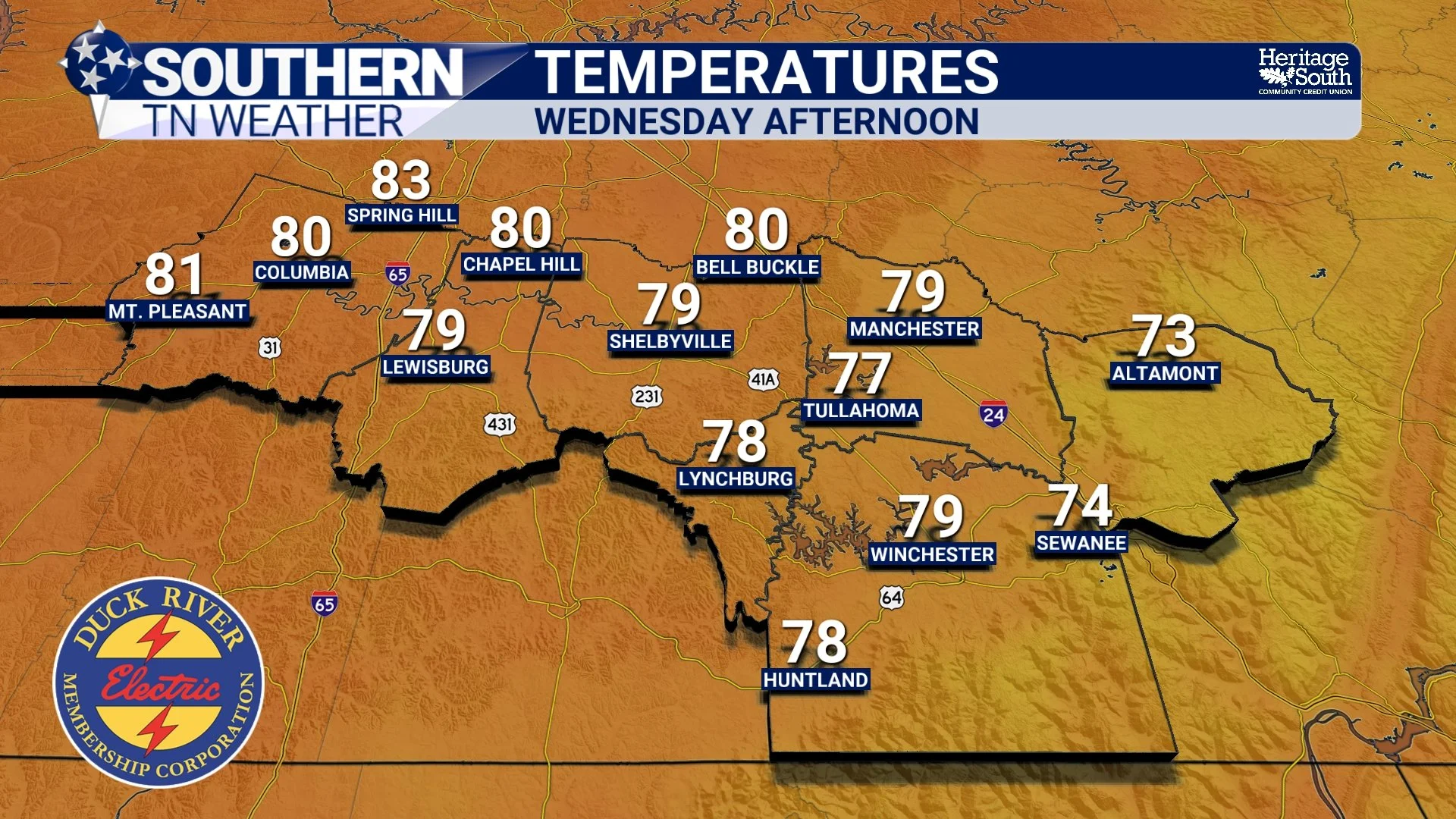
TEMPS - WEDNESDAY AFTERNOON
The Atmosphere Is In Transition
One of the easiest mistakes to make when looking at a weather forecast is focusing only on what is happening today. Meteorologists are often more interested in what's happening hundreds or even thousands of miles away.
Right now, the weather pattern across the eastern half of the country is fairly simple. High pressure remains in control across the Southeast, keeping skies mostly sunny and storm development limited. However, that area of high pressure won't stay parked over us forever.
As we move toward the weekend, it will gradually slide eastward. When that happens, the direction of our wind flow begins to change, allowing moisture from the Gulf to slowly work northward again. The change won't be immediate, but it's already beginning.
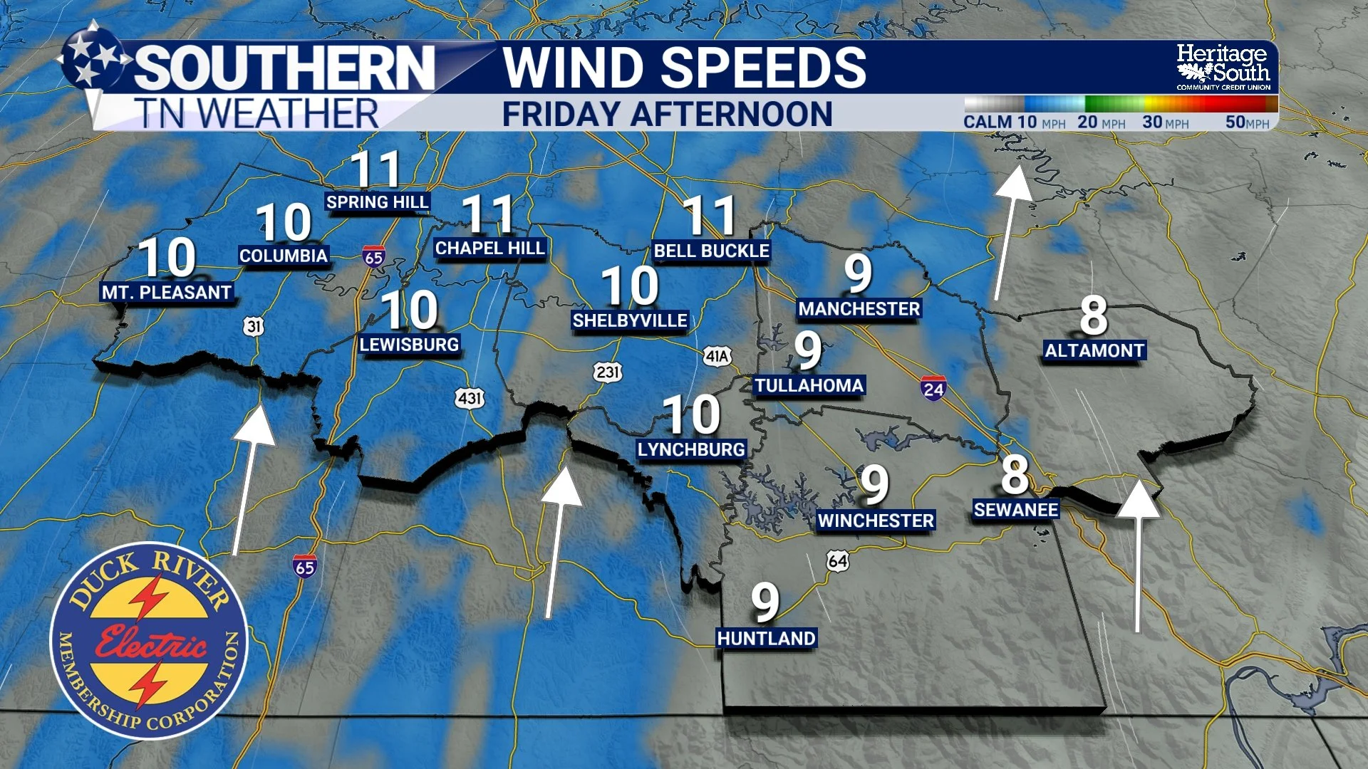
WIND SPEEDS - FRIDAY AFTERNOON
Why The Forecast Looks Nearly Identical Through Friday
Sometimes weather patterns become stuck. That's essentially what's happening right now. The same area of high pressure that brought sunshine on Tuesday will still be influencing our weather on Thursday and Friday. As a result, forecasts from day to day won't look dramatically different.
Highs will generally remain in the lower to middle 80s. Nights will continue to cool into the 50s and lower 60s. Rain chances remain near zero. For anyone with outdoor plans, it's hard to draw up a much better early June forecast. The challenge for meteorologists this week isn't forecasting storms. It's finding new ways to describe several consecutive beautiful days.
Summer Is Slowly Returning
While temperatures remain close to seasonal averages through the remainder of the work week, the atmosphere is beginning to show signs of a more typical summer pattern returning. Cloud cover will gradually increase as we head toward the weekend. Temperatures will creep upward into the middle and upper 80s. Humidity levels will begin rising as southerly winds become established. You probably won't notice much of a difference on Thursday.
You may notice a little by Saturday. By Sunday, however, most people will realize the atmosphere feels noticeably different than it does today.
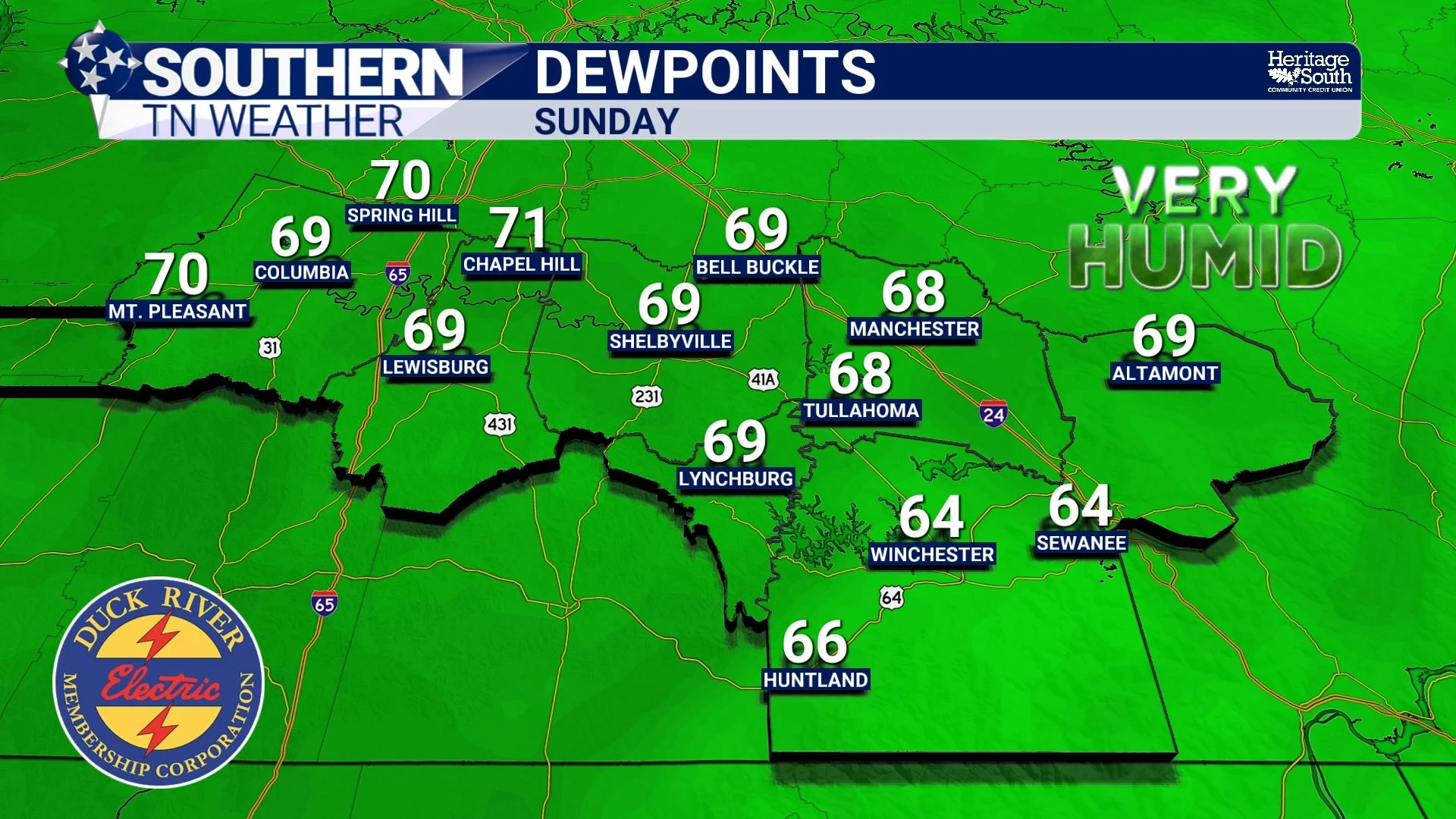
DEW POINTS - SUNDAY
The Return Of Afternoon Storms
The next meaningful weather change arrives late this weekend and early next week. As moisture returns, scattered afternoon and evening showers and thunderstorms will begin reappearing in the forecast. At this point, we're not seeing signs of organized severe weather.
Instead, this looks much more like a classic June pattern. Warm afternoons. Building clouds. Isolated to scattered thunderstorms developing during the hottest part of the day. It's the type of weather pattern that often defines much of summer across Tennessee.
Enjoy The Pause Button
Weather patterns rarely stay quiet for long this time of year. That's why this week's forecast is worth appreciating. The atmosphere has essentially hit the pause button after an exceptionally active second half of May. Sunshine has returned. Storm chances have disappeared. The radar has become quiet.
Eventually we'll be tracking thunderstorms again. Just not today.
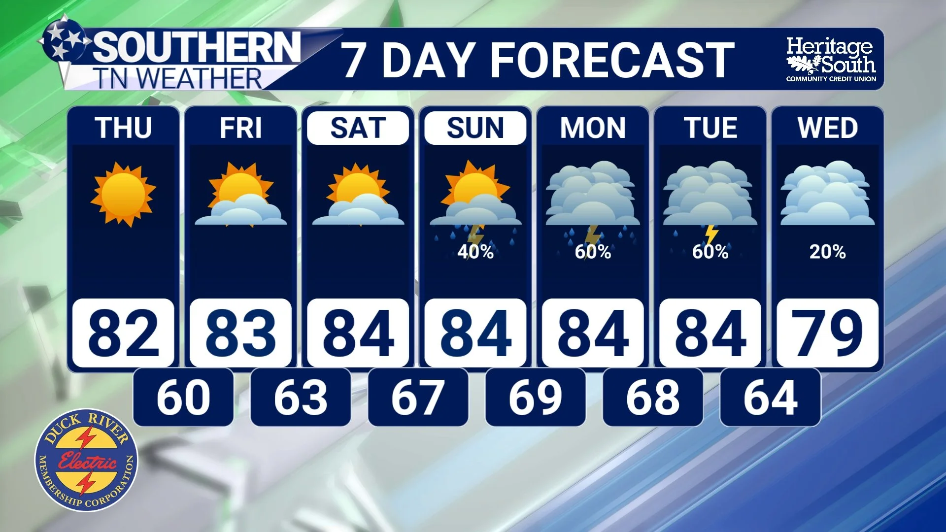
STNWX 7-DAY FORECAST
The Bottom Line 🧾
Dry weather continues through Friday.
Temperatures remain near seasonal averages through the work week.
High pressure remains in control across the Southeast.
Clouds and humidity gradually increase this weekend.
Highs warm into the middle and upper 80s by Saturday and Sunday.
Shower and thunderstorm chances return late this weekend.
A more typical summertime weather pattern develops next week.
📰 Reminder: The Southern Tennessee Weather Blog, presented by Heritage South Community Credit Union, is updated Monday through Friday with fresh, locally tailored forecasts you can trust.