
Flirting with Trouble Thursday Night and Into Friday

The Southern Tennessee Weather Blog is proudly presented by Heritage South Community Credit Union.
We Help When Others Won’t!
Visit https://www.heritagesouth.org/ today to see how HSCCU can help YOU!
Wednesday
We’re stuck under a very stubborn cloud deck across Southern Middle Tennessee today. As of 10 AM, most of us are still in the 30s, and some locations may never make it out of the upper 30s at all. Unfortunately, these clouds are expected to hang tough through the day.
Why so persistent? This morning’s weather balloon sounding from Nashville shows a layer of dry, warmer air sitting over the cold, moist layer at the surface — a classic inversion. Normally, the atmosphere “mixes” during the day, where warmer air at the surface rises and cooler air aloft sinks, helping break up clouds. Today, though, that dry layer above us is acting like a lid on a pot. There’s no easy way for the surface layer to mix upward, so we stay socked-in. If by chance the clouds thin where you are, temperatures may briefly pop near 40. Otherwise, it’s a chilly, gray day.
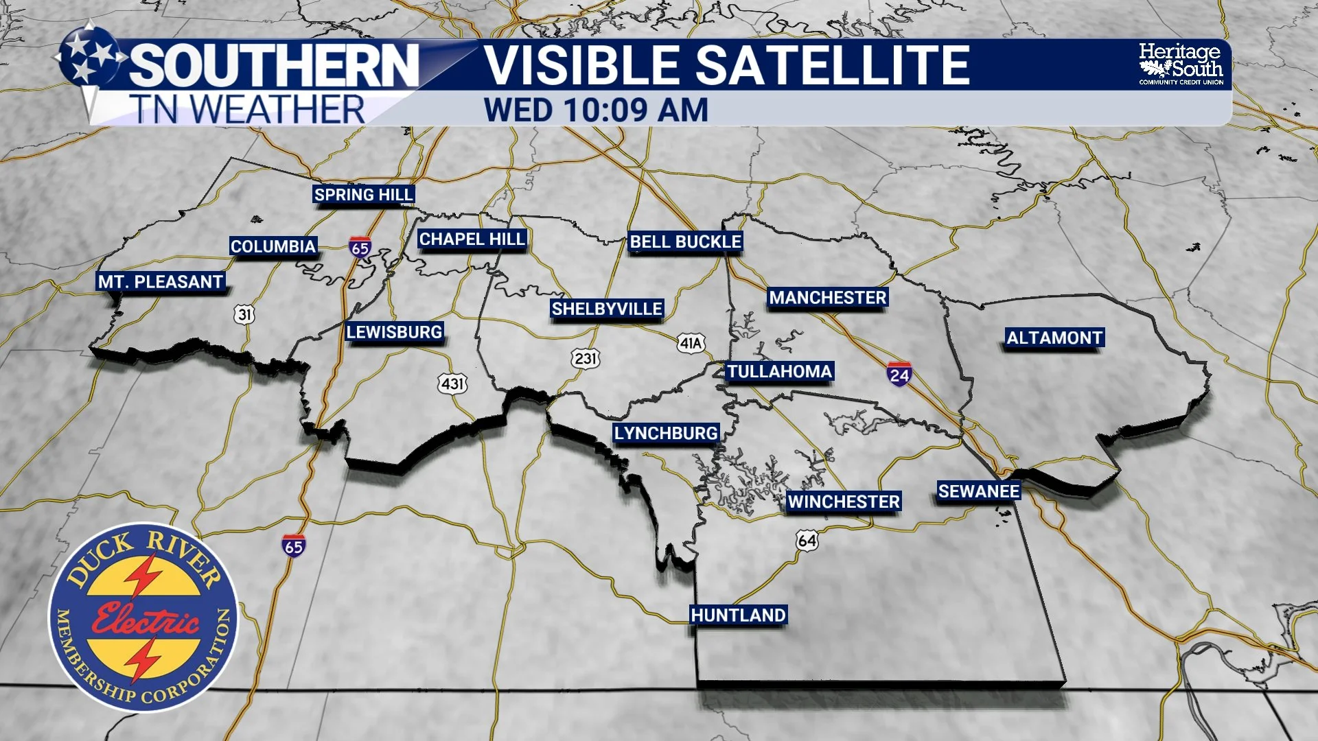
Visible Satellite - Wednesday Morning
Thursday Night Into Friday Morning: Now a Higher Ice Risk on the Plateau
Let’s get right to it — the newest data shows a slightly higher chance for wintry mischief Thursday night into early Friday, especially across the Cumberland Plateau. This system is a classic “overrunning” setup: warm, moist air glides up and over a shallow cold layer near the surface. What type of precipitation you get depends entirely on the depth of that cold layer and the wet-bulb temperature (essentially the “true” temperature air cools down to as rain falls into it).
What’s changed this morning?
The latest NWS probabilities for freezing rain have ticked up:
25–30% chance of accumulating ice (a few hundredths) on the Plateau
10–15% chance elsewhere in Middle Tennessee
One model (the HRRR) even paints up to one-tenth of an inch on the highest elevations
This does not mean significant impacts are likely, but it is a noticeable uptick compared to previous forecasts.
My current thinking
For most of Southern Middle Tennessee, including Bedford, Moore, Coffee, Franklin (off the plateau), Maury, and Marshall a cold rain is the most likely outcome… However, elevations above ~1500 ft in Franklin and Grundy Counties (Sewanee, Monteagle, Altamont and Tracy City) remain the most vulnerable to a brief period of freezing rain or sleet Thursday night. Even there, impacts appear limited and temperatures look to rise above freezing quickly Friday morning, limiting how long anything can stick. Still, if temperatures end up even 1–2 degrees colder than forecast we could all flirt with a wintry mess. This is one of those very tight-margin Tennessee setups.
Timing
Light rain (most areas) or a wintry mix (plateau) begins Thursday evening
Freezing rain/sleet possible overnight into early Friday
Transition to all rain for everyone Friday AM
We will be monitoring this VERY closely over the next 24–36 hours.
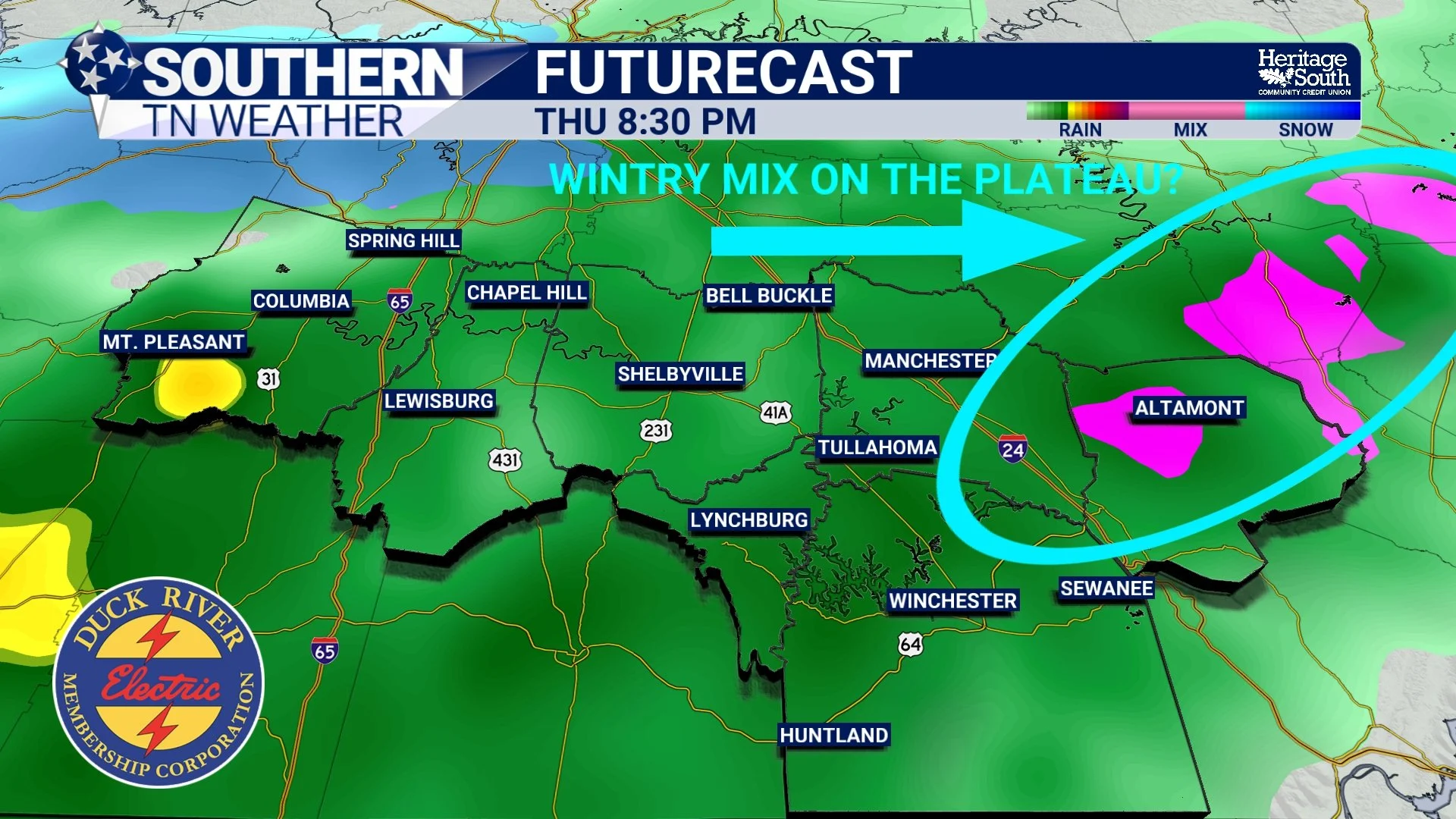
A Wintry Mix on the Plateau - As seen on the HRRR Model
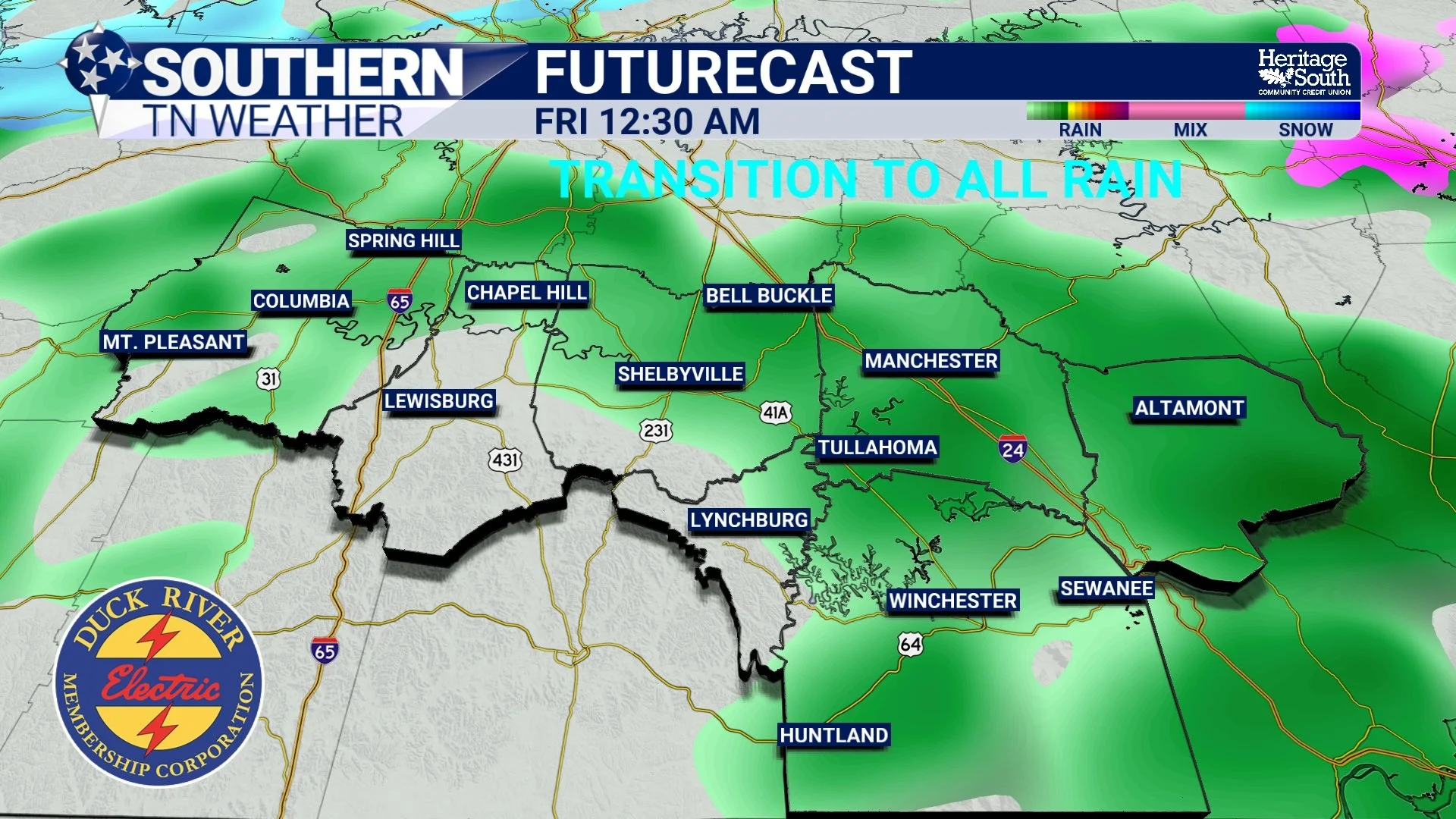
Transition to ALL rain by Friday Morning
Friday (afternoon) and Saturday
Once Friday morning’s precipitation ends, we may see some partial clearing, but clouds won’t stay gone for long. Another weak disturbance approaches Saturday and may bring more cloud cover and a slight chance of showers late Saturday into Sunday. There are many Christmas parades, tree lightings, and holiday events Friday and Saturday across the region. The good news? Most of the weekend looks dry, but Saturday evening’s odds of a shower may need to be revisited as newer model data arrives.
Temperatures stay below normal through the entire period — consistent with what you would expect under a persistent longwave trough.
Rainfall Totals
Moisture is limited with this system, so totals through Friday morning remain light, pp to 0.25 inches overall. Even if a bit more wintry mix occurs than originally expected, the small moisture supply keeps the impact potential low.
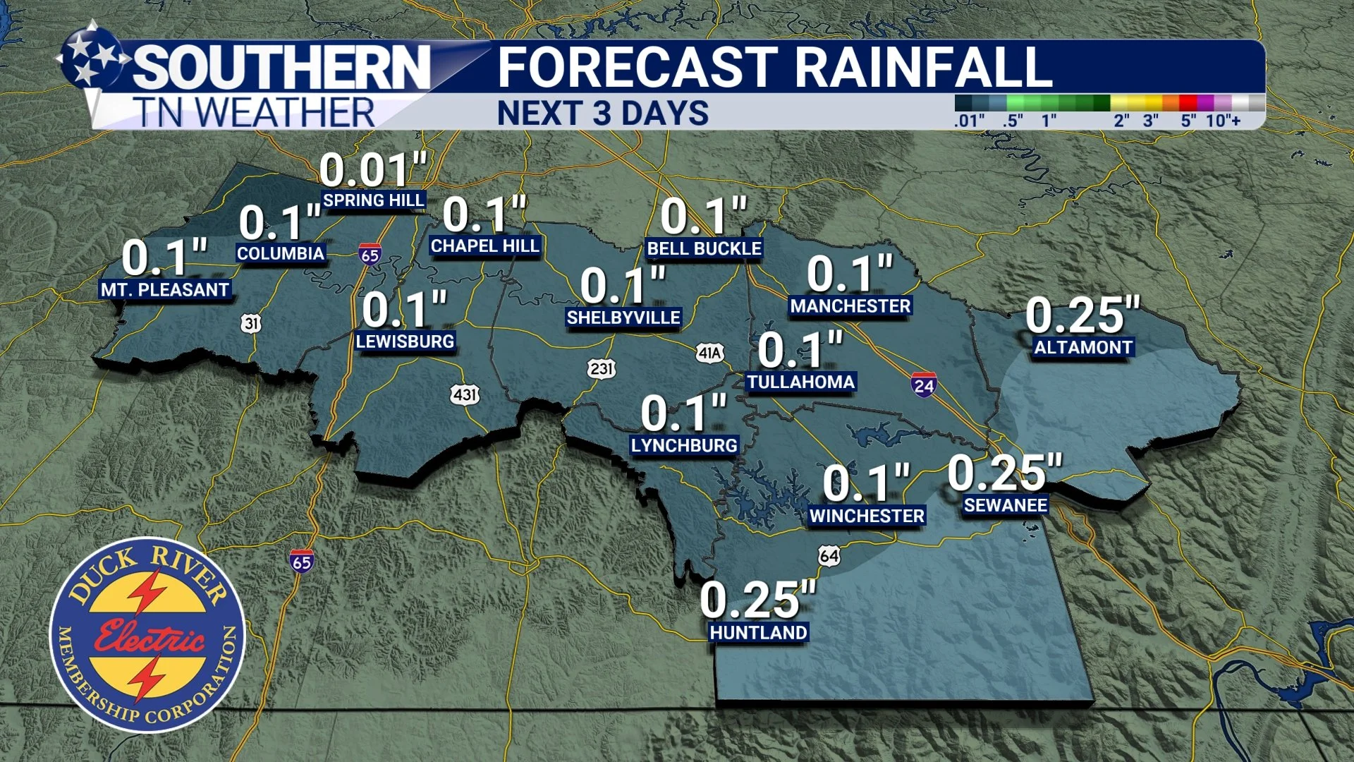
Rainfall Totals over the next 3 days
The Bottom Line
A stubborn cloud deck keeps us chilly today with highs in the 30s to near 40
Thursday night into Friday morning brings a low-end wintry mix risk
25–30% chance of light ice on the Plateau, 10–15% elsewhere
Most areas see plain rain, with a transition to all rain by Friday morning
Rainfall totals stay light, less than a quarter inch
Weekend looks mostly dry, but a small chance of showers late Saturday
Temperatures remain below normal into early next week
📰 Reminder: The Southern Tennessee Weather Blog (Presented by Heritage South Community Credit Union) is updated Monday through Friday with fresh, locally tailored forecasts you can trust.